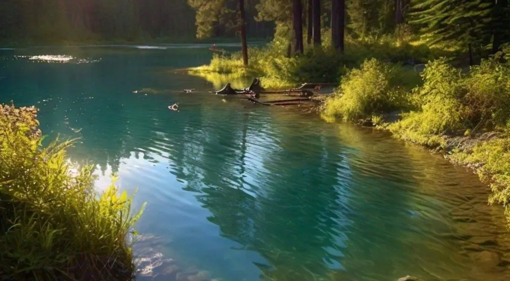
Surface water hydrology is the study of water bodies on the surface of the Earth. It deals with the movement, distribution, and quality of surface water which includes both the saltwater in oceans and the freshwater in rivers, lakes, streams, etc. Hydrologists utilize tools like stream gauges, remote sensing, and hydrological models to measure and predict water flow and quality. They study how precipitation, evaporation, and runoff affect water bodies. The study of surface water hydrology is crucial to prevent floods and ensure a reliable water supply for agriculture, industry, and communities. Like groundwater, we need to develop sustainable practices to protect the surface water which is also an important part of the water cycle.
1. What is the term for the boundary that separates two adjacent drainage basins?
(A) Watershed
(B) Divide
(C) Floodplain
(D) Tributary
(B) Divide
Explanation: A divide is the boundary that separates two adjacent drainage basins, determining which way surface water will flow.
2. What is the primary process by which rivers and streams erode their channels?
(A) Sedimentation
(B) Deposition
(C) Abrasion
(D) Infiltration
(C) Abrasion
Explanation: Abrasion is the primary process by which rivers and streams erode their channels, as sediment particles carried by the water grind against the riverbed and banks.
3. What is the term for the area of land where all precipitation collects and drains into a common outlet?
(A) Aquifer
(B) Watershed
(C) Delta
(D) Estuary
(B) Watershed
Explanation: A watershed, also known as a drainage basin, is the area of land where all precipitation collects and drains into a common outlet, such as a river, bay, or other body of water.
4. What is a floodplain?
(A) A flat area on the side of a mountain
(B) The dry area between two streams
(C) The area adjacent to a river that is subject to flooding
(D) The upper part of a river’s course
(C) The area adjacent to a river that is subject to flooding
Explanation: A floodplain is the flat area adjacent to a river or stream that is subject to flooding during periods of high discharge.
5. What is the term for a stream that only flows during certain times of the year?
(A) Perennial stream
(B) Intermittent stream
(C) Ephemeral stream
(D) Braided stream
(B) Intermittent stream
Explanation: An intermittent stream only flows during certain times of the year, typically during the wet season or periods of heavy rain.
6. What is the main cause of surface runoff?
(A) Groundwater discharge
(B) Precipitation exceeding the infiltration capacity of the soil
(C) Evapotranspiration
(D) Sediment deposition
(B) Precipitation exceeding the infiltration capacity of the soil
Explanation: Surface runoff occurs when precipitation exceeds the infiltration capacity of the soil, causing excess water to flow over the land surface.
7. What is a hydrograph?
(A) A map of groundwater levels
(B) A chart showing the variation in river discharge over time
(C) A diagram of sediment transport in a river
(D) A profile of river depth along its course
(B) A chart showing the variation in river discharge over time
Explanation: A hydrograph is a chart that shows the variation in river discharge or streamflow over time, often in response to precipitation events.
8. Which process is responsible for the formation of an oxbow lake?
(A) Volcanic activity
(B) River meandering and cutoff
(C) Glacial erosion
(D) Groundwater seepage
(B) River meandering and cutoff
Explanation: An oxbow lake forms when a river meanders and eventually cuts off a loop, leaving a separate, crescent-shaped body of water.
9. What is the term for the volume of water flowing in a river per unit of time?
(A) Stream gradient
(B) River discharge
(C) Flow velocity
(D) Load
(B) River discharge
Explanation: River discharge is the volume of water flowing in a river per unit of time, typically measured in cubic meters per second (m³/s).
10. What is the primary factor that determines the velocity of a river?
(A) Water temperature
(B) Channel width
(C) Stream gradient
(D) Sediment load
(C) Stream gradient
Explanation: The stream gradient, or slope, is the primary factor that determines the velocity of a river, with steeper gradients generally resulting in faster flow.
11. What is the term for the point where a river meets a larger body of water, such as an ocean, sea, or lake?
(A) Source
(B) Delta
(C) Mouth
(D) Tributary
(C) Mouth
Explanation: The mouth is the point where a river meets a larger body of water, such as an ocean, sea, or lake, often forming a delta.
12. Which of the following is a common indicator of healthy drainage basins?
(A) High levels of pollution
(B) Increased urban runoff
(C) Biodiversity and clean water
(D) High rates of deforestation
(C) Biodiversity and clean water
Explanation: A healthy watershed or drainage basin is typically indicated by high biodiversity and clean water, which reflect good water quality and well-managed land practices.
13. What is the main purpose of a dam on a river?
(A) To prevent fish migration
(B) To decrease the sediment load
(C) To control water flow and store water
(D) To increase river velocity
(C) To control water flow and store water
Explanation: The main purpose of a dam is to control water flow, store water for various uses (such as irrigation, drinking water, and hydroelectric power), and manage flood risk.
14. What is the primary cause of a river’s sediment load?
(A) Atmospheric pressure
(B) Wind erosion
(C) Water erosion and transport
(D) Glacial melting
(C) Water erosion and transport
Explanation: A river’s sediment load is primarily caused by water erosion, which picks up and transports sediment from the riverbed and banks.
15. What is the term for a smaller stream or river that flows into a larger one?
(A) Watershed
(B) Floodplain
(C) Tributary
(D) Divide
(C) Tributary
Explanation: A tributary is a smaller stream or river that flows into a larger one, contributing to the overall flow of the main river.


3 Comments
Nice
Thank you very much! I gain many information tha enhancing my knowledge.
Happy to see you getting benefits from GEOexams. Also check our quiz section and participate to test your knowledge.