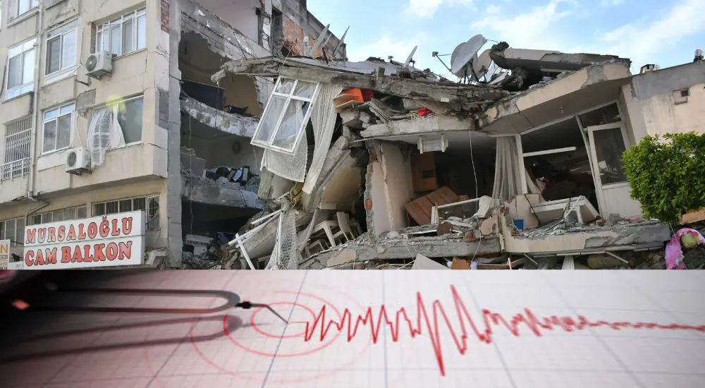
16. Which phenomenon is characterized by the sudden release of stress along a fault line, resulting in ground shaking?
(A) Volcanic eruption
(B) Earthquake
(C) Tsunami
(D) Landslide
(B) Earthquake
Explanation: An earthquake is characterized by the sudden release of stress along a fault line, resulting in ground shaking.
17. What type of seismic wave moves the ground up and down or side to side and only travels through solids?
(A) P-waves
(B) S-waves
(C) Love waves
(D) Rayleigh waves
(B) S-waves
Explanation: S-waves, or secondary waves, move the ground up and down or side to side and only travel through solids.
18. What does the Modified Mercalli Intensity (MMI) scale measure?
(A) The energy released by an earthquake
(B) The magnitude of an earthquake
(C) The duration of an earthquake
(D) The observed effects and damage caused by an earthquake
(D) The observed effects and damage caused by an earthquake
Explanation: The Modified Mercalli Intensity (MMI) scale measures the observed effects and damage caused by an earthquake, describing the intensity of ground shaking at different locations.
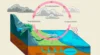
19. Which of the following statements best describes a subduction zone earthquake?
(A) It occurs along transform faults
(B) It is caused by the collision of continental plates
(C) It occurs when one tectonic plate is forced beneath another
(D) It is associated with divergent plate boundaries
(C) It occurs when one tectonic plate is forced beneath another
Explanation: A subduction zone earthquake occurs when one tectonic plate is forced beneath another, often resulting in powerful seismic activity.
20. What is a seismic gap, and why is it significant?
(A) An area of high seismic activity
(B) An area where no earthquakes have occurred for a long period
(C) A measurement of the intensity of seismic waves
(D) A region with continuous minor tremors
(B) An area where no earthquakes have occurred for a long period
Explanation: A seismic gap is an area along a fault where no earthquakes have occurred for a long period, which may indicate the potential for a future significant earthquake.
21. What is liquefaction, and when does it typically occur?
(A) When solid rocks turn into liquid magma during an earthquake
(B) When water-saturated sediments lose their strength and behave like a liquid during shaking
(C) When a fault line becomes lubricated by underground water
(D) When volcanic activity melts rocks near the Earth’s surface
(B) When water-saturated sediments lose their strength and behave like a liquid during shaking
Explanation: Liquefaction occurs when water-saturated sediments lose their strength and stiffness due to the shaking during an earthquake, causing the ground to behave like a liquid.
22. What is the primary purpose of a seismograph?
(A) To measure atmospheric pressure
(B) To detect and record seismic waves
(C) To forecast weather patterns
(D) To measure the Earth’s magnetic field
(B) To detect and record seismic waves
Explanation: A seismograph is an instrument used to detect and record the vibrations produced by seismic waves during an earthquake.
23. Elastic rebound theory gives explanation on
(A) Release of energy during an earthquake
(B) Movement of tectonic plates
(C) Propagation of seismic wave through the earth
(D) Volcanic activity at the mid-ocean ridges
(A) Release of energy during an earthquake
Explanation: Elastic rebound theory describes the gradual buildup of stress along a fault line, which is eventually released as an earthquake when the rocks snap back to their original shape.
24. What type of boundary is most likely to produce the largest earthquakes?
(A) Divergent boundary
(B) Convergent boundary
(C) Transform boundary
(D) Passive margin
(B) Convergent boundary
Explanation: Convergent boundaries, where tectonic plates collide and one plate is forced under another, are most likely to produce the largest and most powerful earthquakes.
25. What is the main cause of aftershocks following a major earthquake?
(A) The release of residual stress along the fault
(B) Changes in atmospheric pressure
(C) Ongoing volcanic activity
(D) Sudden changes in the Earth’s magnetic field
(A) The release of residual stress along the fault
Explanation: Aftershocks are smaller earthquakes that occur after a major earthquake, caused by the release of residual stress along the fault as the crust adjusts to the changes.
26. How do seismologists use the time difference between the arrival of P-waves and S-waves to determine the distance to an earthquake’s epicentre?
(A) By calculating the speed of sound in the Earth’s crust
(B) By triangulating the position using multiple seismographs
(C) By measuring the amplitude of the waves
(D) By analysing the frequency of the waves
(B) By triangulating the position using multiple seismographs
Explanation: Seismologists use the time difference between the arrival of P-waves and S-waves at multiple seismograph stations to triangulate the position of the earthquake’s epicentre.
27. What does a higher magnitude on the Richter scale indicate about an earthquake?
(A) It has a larger amplitude of seismic waves
(B) It is closer to the Earth’s surface
(C) It has a longer duration
(D) It causes less damage
(A) It has a larger amplitude of seismic waves
Explanation: A higher magnitude on the Richter scale indicates a larger amplitude of seismic waves, which generally correlates with more energy released and potentially more damage.
28. What geological feature is commonly created at convergent plate boundaries due to subduction?
(A) Mid-ocean ridges
(B) Trenches
(C) Rift valleys
(D) Transform faults
(B) Trenches
Explanation: Trenches are deep, elongated depressions in the ocean floor commonly created at convergent plate boundaries where one tectonic plate is subducted beneath another.
29. Which type of earthquake wave can travel through both the Earth’s core and mantle?
(A) P-waves
(B) S-waves
(C) Surface waves
(D) Love waves
(A) P-waves
Explanation: P-waves, or primary waves, can travel through both the Earth’s core and mantle, unlike S-waves which cannot travel through the liquid outer core.
30. What is a seismic hazard map used for?
(A) Predicting the exact time of future earthquakes
(B) Identifying areas at risk of seismic activity
(C) Measuring the intensity of past earthquakes
(D) Mapping the locations of all fault lines
(B) Identifying areas at risk of seismic activity
Explanation: A seismic hazard map is used to identify areas at risk of seismic activity, helping planners and engineers design buildings and infrastructure to withstand potential earthquakes.