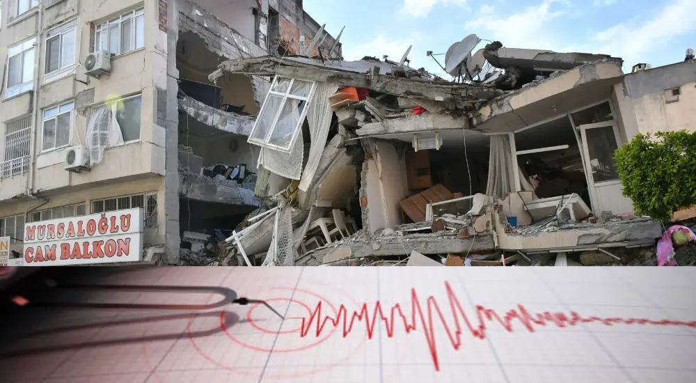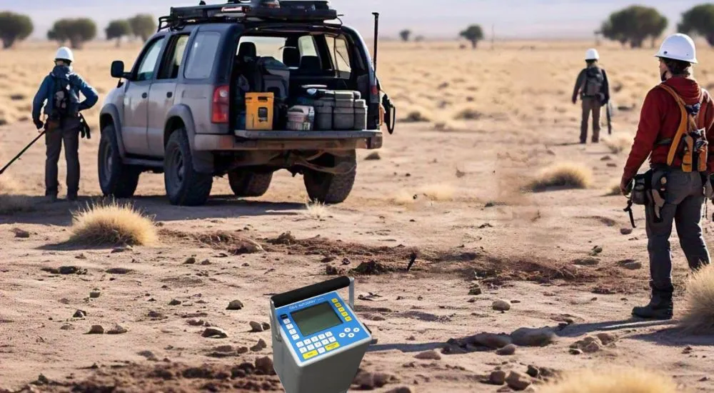
Gravity methods in geophysics involve measuring variations in the Earth’s gravitational field to study subsurface features. These variations occur due to differences in rock density beneath the surface. By using sensitive instruments called gravimeters, geoscientists can detect these changes and map geological structures such as faults, mineral deposits, and sedimentary basins. Gravity methods are widely used in resource exploration for oil, gas, and minerals, as well as in understanding tectonic processes and studying Earth’s interior. Non-invasive and highly effective, gravity surveys provide valuable insights into the hidden structures of our planet, aiding both research and resource management.
1. What is the primary purpose of gravity methods in geophysics?
(A) To measure magnetic anomalies
(B) To measure variations in Earth’s gravitational field
(C) To locate groundwater resources
(D) To monitor seismic activity
(B) To measure variations in Earth’s gravitational field
Explanation: Gravity methods are used to measure small variations in Earth’s gravitational field to study subsurface structures, such as ore bodies, voids, and sedimentary basins. These variations are caused by differences in the density of underlying materials.
2. Which instrument is used to measure gravity in geophysical surveys?
(A) Magnetometer
(B) Gravimeter
(C) Seismograph
(D) Theodolite
(B) Gravimeter
Explanation: A gravimeter is a highly sensitive instrument used to measure gravitational acceleration. It detects minute variations in the gravitational field that provide insights into subsurface structures.
3. What is the unit of gravitational acceleration used in geophysical surveys?
(A) Gauss
(B) Milligal
(C) Newton
(D) Tesla
(B) Milligal
Explanation: Gravity variations are typically measured in milligals (mGal), a smaller unit of gravitational acceleration suitable for detecting minute changes.
4. How does the density of subsurface materials affect gravity measurements?
(A) Lower density increases gravitational acceleration
(B) Higher density decreases gravitational acceleration
(C) Higher density increases gravitational acceleration
(D) Density does not affect gravity measurements
(C) Higher density increases gravitational acceleration
Explanation: Dense materials exert a stronger gravitational pull, causing a positive gravity anomaly in measurements.
5. What does a negative gravity anomaly typically indicate?
(A) Presence of dense rock
(B) Presence of voids or low-density material
(C) A magnetic anomaly
(D) Increased seismic activity
(B) Presence of voids or low-density material
Explanation: Negative gravity anomalies suggest regions with lower density, such as sedimentary basins or voids, which reduce gravitational acceleration.
6. Which correction accounts for the gravitational effect of terrain variations in gravity data?
(A) Drift correction
(B) Terrain correction
(C) Bouguer correction
(D) Latitude correction
(B) Terrain correction
Explanation: Terrain correction adjusts gravity measurements to account for the influence of nearby topographical features on gravitational readings.
7. Which geological feature would most likely cause a positive gravity anomaly?
(A) A salt dome
(B) A sedimentary basin
(C) A dense igneous intrusion
(D) A groundwater aquifer
(C) A dense igneous intrusion
Explanation: Dense materials, such as igneous intrusions, cause a positive gravity anomaly because they increase gravitational acceleration in the region.
8. What is a Bouguer anomaly in gravity methods?
(A) A magnetic anomaly after terrain correction
(B) A corrected gravity value accounting for terrain and elevation
(C) A seismic anomaly in low-density regions
(D) An uncorrected gravitational measurement
(B) A corrected gravity value accounting for terrain and elevation
Explanation: The Bouguer anomaly is the gravitational measurement corrected for the effects of terrain and elevation. It helps isolate the gravitational effect of subsurface density variations.
9. What is the main advantage of gravity methods in geophysics?
(A) High-resolution subsurface imaging
(B) Cost-effectiveness and passive nature
(C) Ability to detect magnetic materials
(D) Real-time monitoring of seismic events
(B) Cost-effectiveness and passive nature
Explanation: Gravity methods are relatively low-cost and passive (do not require active sources like seismic surveys), making them suitable for preliminary geological studies.
10. What is a gravity gradient?
(A) The rate of change of gravity with time
(B) The rate of change of gravity with distance
(C) The correction applied to gravity readings
(D) The effect of magnetic fields on gravity measurements
(B) The rate of change of gravity with distance
Explanation: A gravity gradient refers to the spatial rate of change of gravitational acceleration, which can provide detailed information about subsurface density variations.
11. Which correction compensates for the Earth’s shape and rotation in gravity surveys?
(A) Bouguer correction
(B) Free-air correction
(C) Latitude correction
(D) Drift correction
(C) Latitude correction
Explanation: The latitude correction accounts for variations in gravitational acceleration caused by the Earth’s oblate shape and rotation, which result in slightly different gravity values at different latitudes.
12. What is the primary limitation of gravity methods?
(A) Limited resolution for small-scale features
(B) Inability to detect low-density materials
(C) High operational cost
(D) Requirement of active energy sources
(A) Limited resolution for small-scale features
Explanation: Gravity methods have low resolution for small-scale or shallow features, as they are better suited for detecting broader density variations in the subsurface.
13. What is the significance of free-air correction in gravity surveys?
(A) It removes the effect of latitude variations
(B) It accounts for the elevation of the measurement point above sea level
(C) It compensates for the density of subsurface materials
(D) It corrects for instrument drift
(B) It accounts for the elevation of the measurement point above sea level
Explanation: Free-air correction adjusts gravity measurements for the effect of altitude, assuming the absence of any intervening material, to normalize readings to sea level.
14. Which geological feature is likely to produce a strong negative Bouguer anomaly?
(A) A dense igneous intrusion
(B) A sediment-filled basin
(C) A metallic ore deposit
(D) A volcanic dyke
(B) A sediment-filled basin
Explanation: Sediment-filled basins have lower densities than surrounding rocks, leading to a strong negative Bouguer anomaly.
15. What does the term “regional anomaly” refer to in gravity data interpretation?
(A) An anomaly caused by a shallow subsurface feature
(B) An anomaly caused by deep-seated geological structures
(C) An error in gravity measurement
(D) A localized high-density feature
(B) An anomaly caused by deep-seated geological structures
Explanation: Regional anomalies are broad, low-frequency variations in gravity data that arise from deep-seated geological structures, as opposed to local anomalies caused by shallow features.
16. How are gravity data commonly displayed for interpretation?
(A) As seismic waveforms
(B) In Bouguer anomaly maps
(C) As magnetic susceptibility charts
(D) In electrical conductivity plots
(B) In Bouguer anomaly maps
Explanation: Gravity data are typically processed and displayed as Bouguer anomaly maps, which help geophysicists identify variations in subsurface density.
17. What is the main advantage of microgravity surveys?
(A) Detecting magnetic materials
(B) Mapping subsurface density variations on a small scale
(C) Identifying deep geological structures
(D) Monitoring seismic activity
(B) Mapping subsurface density variations on a small scale
Explanation: Microgravity surveys are highly sensitive and used for detecting small-scale density variations, such as voids, tunnels, or small ore bodies.
18. Which of the following factors does NOT affect gravity measurements?
(A) Density of subsurface materials
(B) Earth’s rotation
(C) Topographical variations
(D) Magnetic field intensity
(D) Magnetic field intensity
Explanation: Gravity measurements are influenced by factors like density, rotation, and topography but are independent of Earth’s magnetic field intensity.
19. What is the expected gravity anomaly caused by a salt dome?
(A) Positive anomaly
(B) Negative anomaly
(C) No anomaly
(D) Fluctuating anomaly
(B) Negative anomaly
Explanation: Salt domes have lower densities than the surrounding rocks, resulting in a negative gravity anomaly in measurements.
20. What is the main source of Earth’s gravitational field?
(A) Earth’s magnetic field
(B) Earth’s rotation
(C) Earth’s mass and density distribution
(D) Earth’s atmospheric pressure
(C) Earth’s mass and density distribution
Explanation: The Earth’s gravitational field is generated by its mass and the density distribution within the planet. Variations in subsurface density cause measurable changes in the gravitational field.